
Pro Topographical Survey
Detailed Land Mapping and Site Levels
Get a Free Quote From Us Today!
We aim to get back to you in 24 hours.
At Pro Topographical Survey, we provide precise topographical surveys for land, construction and development projects throughout the UK. Our team records site levels, boundaries and physical features, offering comprehensive survey information ideal for architects, engineers and designers. We ensure every measurement meets the distinct requirements of your project.
Who Is Pro Topographical Survey?
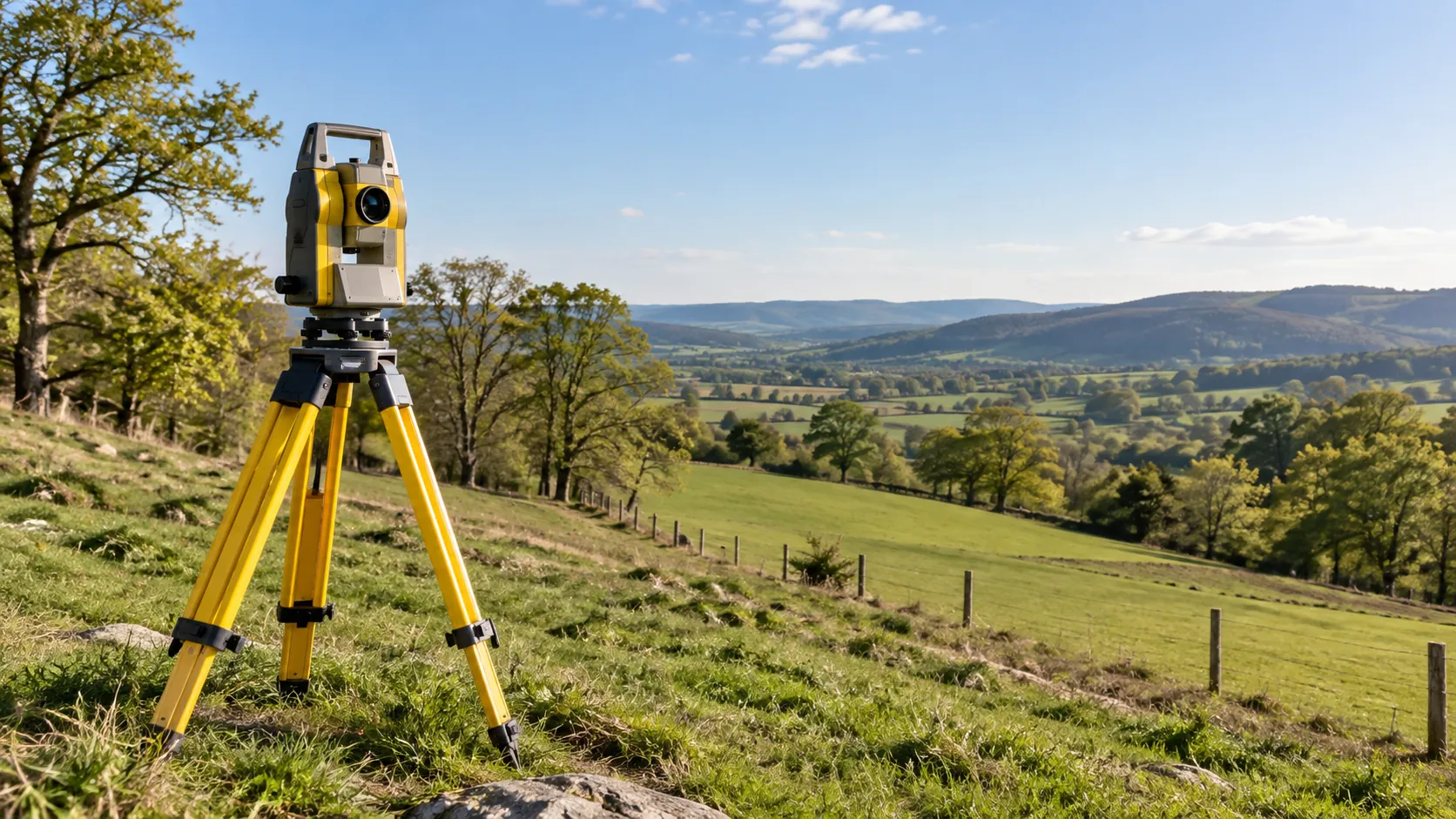
We’re Pro Topographical Survey, experts in delivering precise topographical surveys across the UK. Our skilled surveyors employ a range of equipment, including Total Stations, GPS units, and 3D laser scanners, to capture accurate site data essential for planning and development projects. We are experienced in handling various project types, from small residential developments to extensive commercial or industrial sites.
Our surveys provide critical information, such as site elevations, boundary lines, and utilities layout, ensuring compliance with planning regulations and aiding in effective site design.
We adhere to the British Standard BS 5930 for site investigations, ensuring our results meet industry standards. Our surveys typically include digital elevation models (DEMs) and detailed contour lines to support architects and engineers in their design process.
Contact us to discuss the specific requirements of your project and how we can assist you.
What Topographical Survey Services Does the company Pro Topographical Survey Provide?
At Pro Topographical Survey, we offer a range of services designed to meet your surveying needs:
- Topographical Surveys: We perform comprehensive mapping of terrain, levels and features using advanced equipment like total stations and GPS units. Our surveys are essential for architects and engineers when planning new developments or alterations to existing structures.
- Boundary Surveys: Our boundary surveys provide an accurate assessment of land boundaries to prevent future disputes. We ensure compliance with the Land Registry guidelines and deliver precise measurements that are vital for property owners and developers.
- Site Analysis: We conduct detailed examinations for engineers and designers, facilitating precise layout planning. Our analyses consider factors such as soil stability, drainage patterns, and environmental impact, which are crucial for informed decision-making in construction projects.
Our team ensures that every service is tailored to the specific requirements of your project. Contact us to discuss how we can assist with your next surveying challenge.
When Is a Topographical Survey Needed?
Topographical surveys are essential for construction projects, land development, and planning applications. At Pro Topographical Survey, our service is crucial when accurate site data is required by architects for design, compliance with planning regulations, and the early identification of site constraints or opportunities.
For construction, these surveys provide detailed information about the land contours and existing structures, enabling engineers to make informed decisions on grading, drainage, and structural design. They are indispensable for land developers assessing plot potential or identifying zoning restrictions.
Our surveys often include data on vegetation, utility locations, and nearby water bodies, helping planners adhere to environmental regulations.
For infrastructure projects, topographical surveys ensure roads and bridges align with the terrain, minimising environmental impact and reducing costs. If you need insights into a property’s topography, request a survey today and ensure precise planning.
Get a Free No Obligation Quotation Today
How Does Pro Topographical Survey Work?
Our structured approach ensures efficiency and accuracy in every survey project. Initially, we engage with clients during a detailed consultation to understand project needs and objectives.
Once all requirements are clear, our team conducts a site assessment. This involves collecting data using advanced techniques such as GPS mapping, 3D laser scanning, and drone surveys to cover extensive and challenging terrains.
During the survey execution phase, we use equipment such as the Leica Total Station and Trimble GNSS systems to ensure precise measurements. Our experienced surveyors adhere to industry standards, including RICS and ICAO guidelines, to maintain quality and reliability in our data collection.
Once data is gathered, it undergoes meticulous processing using software like AutoCAD Civil 3D and GIS applications. This results in accurate survey documents that clients can seamlessly integrate into their architectural or construction plans.
We then deliver the finalised reports promptly, enabling projects to proceed without delay. Contact us today to discuss your topographical survey needs and how we can assist in bringing your project to completion.
Who Does Pro Topographical Survey Help?
At Pro Topographical Survey, we assist a wide range of clients, including architects, construction firms, developers, engineers, and local authorities. Our surveys cater to various project types, from residential developments to large infrastructure projects.
We provide critical topographical data, such as elevations, contours, and features of the land, using methods like GPS surveying and laser scanning. Our data adheres to established standards like the RICS Code of Measuring Practice, ensuring precise and accurate results.
Our experienced team uses advanced software like AutoCAD Civil 3D to create detailed digital models. These models help in analysing site suitability, identifying potential issues such as drainage problems, and complying with planning regulations.
By providing reliable and detailed survey data, we support efficient project planning and execution.
Contact us to discuss your specific surveying needs.
How Quickly Can Pro Topographical Survey Respond?
Our team is positioned to respond swiftly to your survey needs, ensuring that we are well-equipped to handle your project efficiently. We typically perform initial consultations within a week.
Our team uses industry-standard equipment such as GPS units, robotic total stations, and laser scanners to gather precise data and ensure accuracy. For most site surveys, we aim to conduct them within two to three weeks, factoring in project size, complexity, and location.
Our clients range from real estate developers needing boundary surveys to construction firms requiring detailed topographical maps. Adhering to RICS standards, we ensure all surveys meet regulatory compliance.
Contact us to book a survey today.
Request a free quote
How Does Pro Topographical Survey Ensure Quality and Compliance?
At Pro Topographical Survey, we adhere to rigorous industry standards, ensuring all surveys comply with RICS guidelines. Our team performs surveys using precise equipment such as robotic total stations and GPS systems, which enable us to achieve high accuracy levels suitable for detailed mapping projects.
We follow strict protocols during data collection and analysis, ensuring every survey meets ISO 9001 standards for quality management. By employing methods such as laser scanning and photogrammetry, we capture detailed site information efficiently, catering to commercial developers and residential architects alike.
Our surveyors continuously update their skills to stay current with technological advancements, providing clients with reliable and accurate survey information. From complex urban developments to rural land evaluations, our commitment to compliance and precision supports a wide range of projects.
Reach out to discuss your specific surveying needs.
Why Choose Pro Topographical Survey?
Choosing us guarantees accurate and detailed surveys that support your project goals. We use the latest laser scanning and GPS technology to provide precision data, ensuring your plans are based on the most reliable information.
Our expert surveyors have extensive experience in residential, commercial, and industrial surveying, allowing us to handle projects of varying complexity and size.
We are committed to understanding your specific project needs by tailoring our solutions to meet unique site characteristics and specifications. This approach ensures that every survey supports optimal site planning and compliance with construction regulations.
Our consistent delivery of survey data is backed by industry standards such as ISO 9001, reassuring you of our technical proficiency and commitment to delivering reliable results.
Contact us to discuss how our topographical surveys can support your project’s success.
Frequently Asked Questions
What is included in a topographical survey?
A topographical survey includes detailed information on site levels, boundaries and physical features such as buildings, roads and utilities. At Pro Topographical Survey, we provide mapping specifically aligned with your project needs.
How long does a topographical survey take?
The length of a survey varies based on site size and complexity. Typically, a survey can take between one to three days on-site, with processed results ready within a week.
Why is GPS used in topographical surveys?
GPS technology offers precision and efficiency in collecting site data. At Pro Topographical Survey, we use GPS equipment to ensure accurate positioning and data collection for each project.
Get a Free Quote
Ready to start your survey? Contact Pro Topographical Survey today for a topographical survey that meets your needs.
speak with our team today
What People are Saying About Us
★★★★★
“We needed an accurate site survey before our architect could finish the drawings. Pro Topographical Survey delivered on the promised date, and I would recommend them.”
Beth Patel
London
★★★★★
“Much better than the last firm we used. Pro Topographical Survey were easy to deal with and the team were brilliant throughout.”
Stuart Chandra
London
★★★★★
“Got the survey back quicker than I expected and the drawings were spot on. Pro Topographical Survey did a solid job, would use them again no problem.”
Jonathan Whittle
London
★★★★★
“Accurate, professional topographical survey from Pro Topographical Survey. They are the ones to call for site work.”
Ross Fletcher
London
Our Locations
We are proud to work nationally across the UK, allowing us to ensure we can provide services to you.
For a full list of counties we cover in the UK, see below.